Delivering Aerial Insight
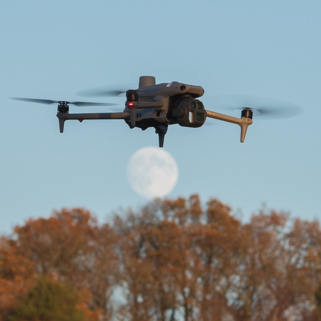
Panoramica-UAS utilises state of the art unmanned aerial systems to deliver precise, high resolution infrastructure inspection, 3D mapping, and site surveying solutions.
We empower clients with detailed insight to allow for informed decision-making, ensuring projects remain on schedule and within budget.
Contact us now so we can discuss your requiremnts and offer you a safe and cost-effective solution tailored to your needs.
Services
Aerial mapping
Orthomosaic aerial mapping using drones creates highly accurate, georeferenced maps These maps provide a detailed, top-down view of land or structures, making them ideal for surveying, planning, and progress monitoring.
Building surveys
Building surveys using drones offer a fast, safe, and accurate way to inspect structures. This technology reduces risk to surveyors, minimises disruption on site, and provides detailed data that supports better assessment, maintenance planning, and reporting.
Infrastructure inspection
The use of drones in infrastructure inspections provide a safer, faster, and more cost-effective alternative to traditional methods. Drones can access hard-to-reach or hazardous areas such as bridges, towers, and pipelines without the need for road closures or working at height. Thermal image capability allows for the early identification of defective infrastructure through the identification of hot spots due to hight resistance.
Environmental monitoring
Drones play a vital role in environmental monitoring by providing efficient access to large or sensitive areas. They can collect high-resolution imagery and data to track changes in vegetation, wildlife habitats, water quality, and erosion over time.
Construction surveys
Drones are increasingly used in construction surveys to capture accurate aerial data quickly and safely. They enable surveyors to inspect hard-to-reach areas, monitor site progress, and create detailed maps and 3D models with minimal disruption.
Damage assessment
Using drones for damage assessments offers a rapid, safe, and accurate way to evaluate affected areas after incidents such as storms, fires, or structural failures. This approach speeds up decision-making, reduces costs, and provides clear visual evidence to support repairs, insurance claims, and recovery planning.
Your Partner in aerial solutions
Panoramica-UAS has the overriding aim to provide clients with bespoke solutions to assist in the delivery of projects on time, within budget and above all safely.